





WHAT YOU'LL SEE AT THE NUMANCIA ARCHAEOLOGICAL SITE: A 6-STOP ROUTE
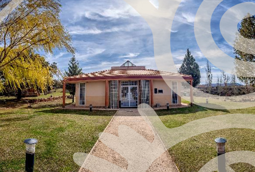
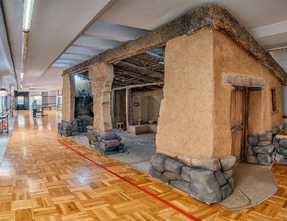
The visit is carefully designed so that you do much more than simply look at ancient remains. It begins at the Visitor Reception Centre, where an audiovisual presentation and 3D reconstructions help you visualise the city before you step into it. A starting point that truly makes a difference.
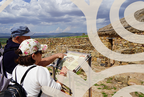
From there, the route unfolds through eleven signposted stops with explanatory panels that guide visitors through the history of Numancia.
For those who want a deeper experience, guided tours led by specialised experts are undoubtedly the best way to fully appreciate the archaeological site and understand the story behind every corner.
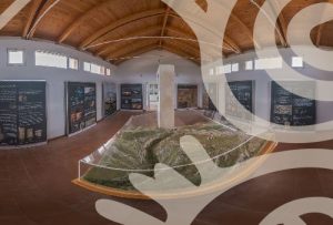
THE MODEL TABLE OF SCIPIO'S SIEGE
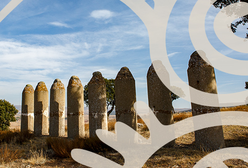
The first stop and one of the most impressive points of the visit. A siege model table located at the archaeological site allows visitors to visualise the exact positions of the seven Roman camps that surrounded the hill, marked today by white landmarks across the landscape.
Seeing this from the actual site and understanding how the complete isolation of the city was carried out creates a powerful and unforgettable impression.
It is the moment when you truly grasp the scale of Scipio’s strategy and the dramatic final chapter of Numancia’s resistance against Rome.
THE WALL AND THE NORTH GATE
At the entrance to the archaeological site stands a reconstructed section of the Celtiberian defensive wall, with its North Gate flanked by two square wooden towers.
The base of the wall measures 4 metres wide, with a 3.5-metre-high stone structure topped by an adobe section. From this point, visitors immediately understand that Numancia was not a defenceless settlement — it was a city built to resist.
The wall is a powerful reminder of the strength, organisation, and defensive capacity of the Celtiberian people.
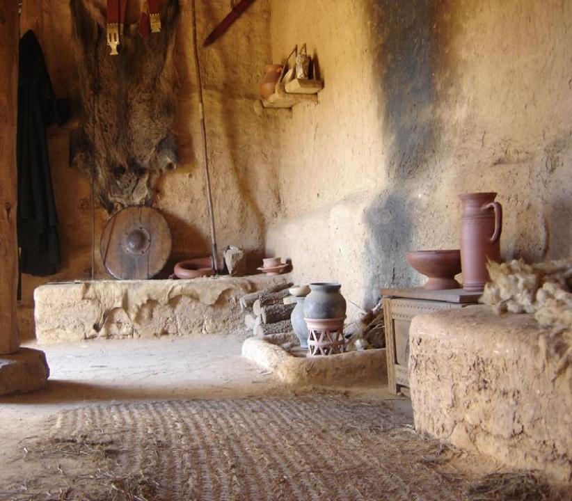
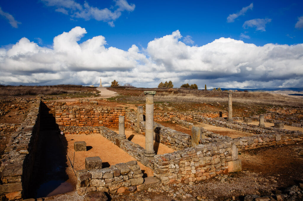
THE CELTIBERIAN URBAN LAYOUT
The streets of Numancia were not designed by chance. They were mainly laid out from east to west in order to reduce the impact of the cold winds of the plateau, connecting in a staggered pattern that created natural barriers against the weather.
The houses were grouped into blocks, while large stepping stones were placed in the middle of the streets so residents could cross from one side to the other without stepping into mud, as household drainage systems flowed directly into the streets.
These details reveal a city carefully adapted to its environment, where urban planning responded to the needs of everyday life.
THE WATER CISTERNS
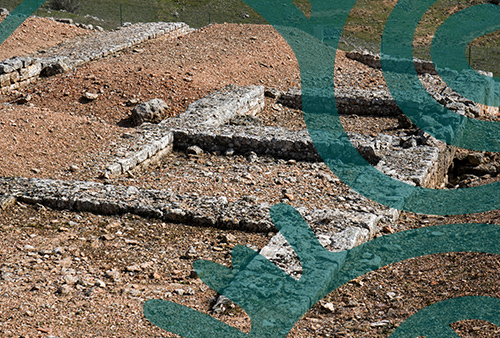
Scattered throughout the archaeological site, these circular and square reservoirs collected rainwater through small channels that carried it from the rooftops.
This simple yet efficient domestic water management system was perfectly adapted to the climate of Soria, showing how the inhabitants of Numancia made intelligent use of the resources available in their environment.
THE PUBLIC BUILDING
One of the collective-use spaces identified within the archaeological site, with its drainage system still visible today.
It is a reminder that Numancia was not simply a group of houses, but a well-organised city with shared infrastructure and spaces designed to serve the needs of the community.
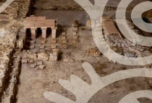
THE SMALL ROMAN BATHS
The remains of the baths built after the Roman conquest show how the new city, developed over the ruins of the Celtiberian settlement, incorporated the typical features of Roman urban life.
The public baths were not only places for hygiene, but also important social spaces where citizens met, interacted, and became part of the cultural traditions of the Roman world.
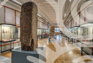
THE NUMANTINE MUSEUM: VISIT IT BEFORE EXPLORING THE ARCHAEOLOGICAL SITE
The Numantine Museum, located in the city of Soria, is the perfect complement for understanding what you will later discover on the hill. Our recommendation is clear: visit it first. The difference is enormous.
Its galleries preserve pottery decorated with the geometric patterns characteristic of Celtiberian culture, agricultural tools, weapons, and everyday objects recovered from Numancia and other archaeological sites in the region.
Particularly striking are the objects linked to horses: brooches (fibulae) and decorative pieces that reveal why this animal became a true symbol of prestige, mobility, and sacred value for the people of Numancia.
A cultural symbol that tells us so much about their way of understanding the world.
WHAT TO SEE NEAR NUMANCIA
Garray is the village located next to the archaeological site, making it the perfect place for a peaceful walk along the Duero River after your visit.
Just a few minutes away, Soria offers a combination of heritage, gastronomy, and natural spaces such as the Alameda de Cervantes park and the riverside walk along the Duero. A city that often surprises those who discover it for the first time.
Calatañazor is one of the most beautiful medieval villages in the province, with cobbled streets, ancient walls, and the remains of a castle offering spectacular views over the surrounding landscape. A stop that never disappoints.
Have you already visited Numancia, or are you planning your trip? Tell us in the comments. And if you enjoyed this post, share it — Soria’s history deserves to be discovered.